 "area man" (hurrburgring)
06/24/2016 at 14:33 ē Filed to: None
 3
3
 8
8
 "area man" (hurrburgring)
06/24/2016 at 14:33 ē Filed to: None |  3 3
|  8 8 |
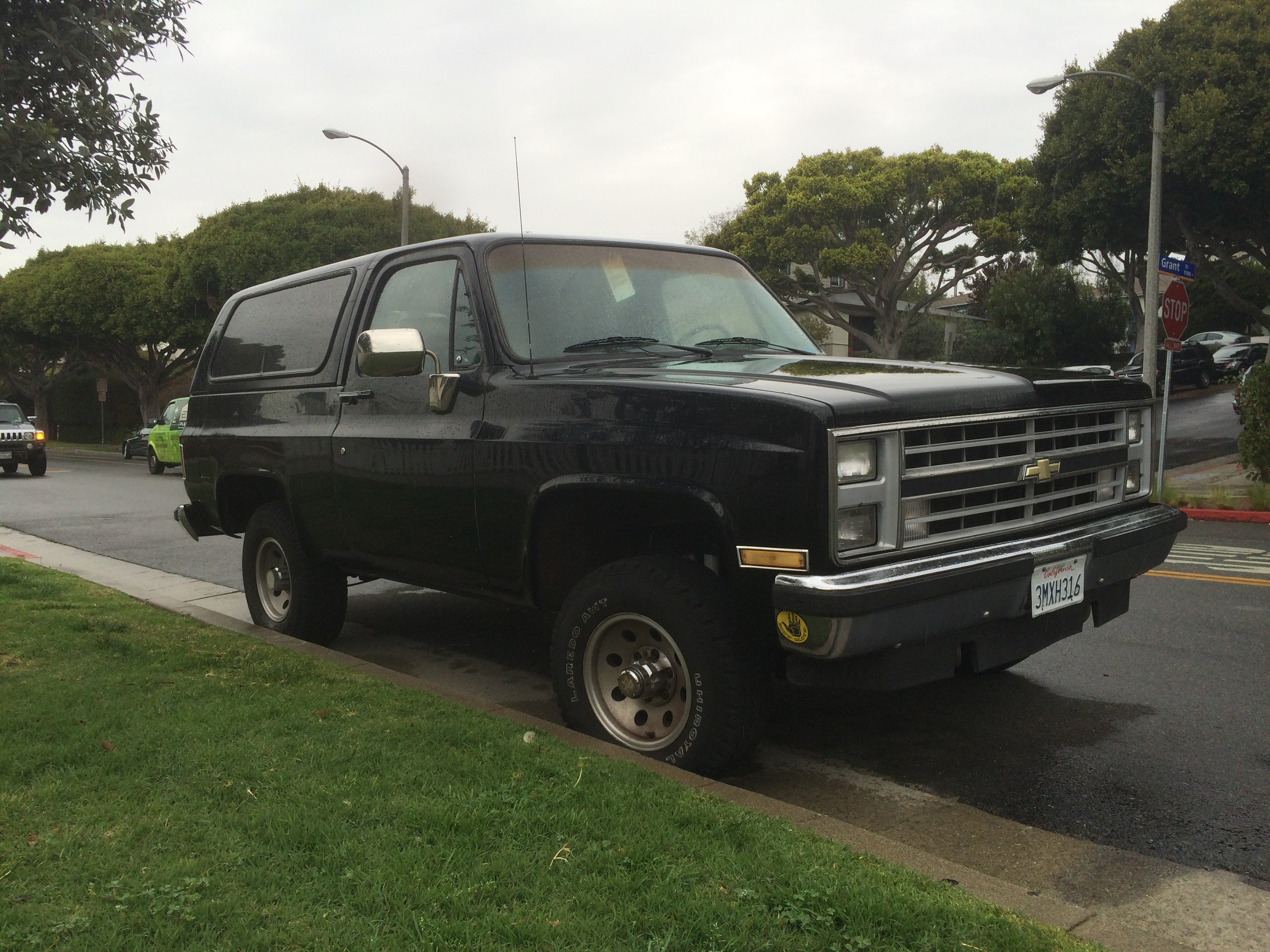
Iíll be in California for a week and a half after July 4th, and Iím aiming to take this beauty on my first OHV adventure. Nothing too crazy, just forest routes and fire roads with a view. But Iím looking for any tips or suggestions you guys may have for me! Here are the options Iíve found so far...
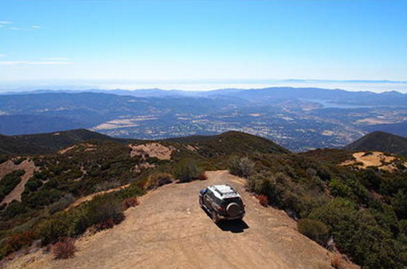
Nordhoff Ridge Road
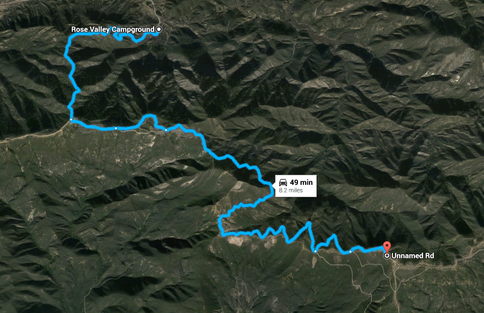
Info
!!!error: Indecipherable SUB-paragraph formatting!!!
and
!!!error: Indecipherable SUB-paragraph formatting!!!
This map actually only shows half the route, because you double back from the pin (a mountaintop radio array) and head past the feeder road an equal distance to an old fire tower. But itís all well-graded dirt that can mostly be done in 2WD, so I donít think Iím being unsafe by considering this as a novice.
Thomas Mountain Truck Trail
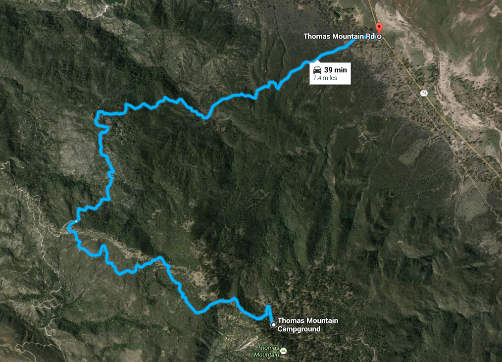
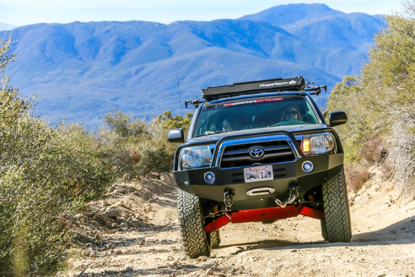
Info !!!error: Indecipherable SUB-paragraph formatting!!! and !!!error: Indecipherable SUB-paragraph formatting!!! (6S13 on the map)
This is another mostly even dirt trail with a only a couple sections where your line actually matters. The climb is a little less steep than Nordhoff, but there are campgrounds with fire pits at the summit and that seems like a pretty sweet setup to me.
Rincon-Shortcut OHV Trail
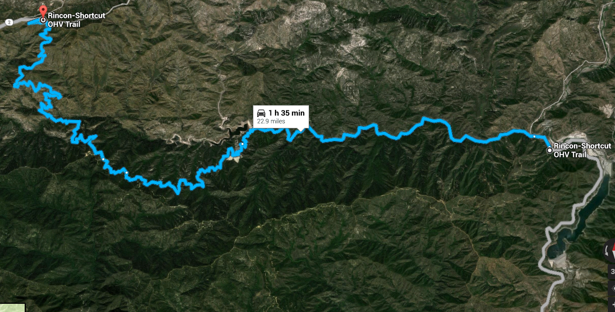
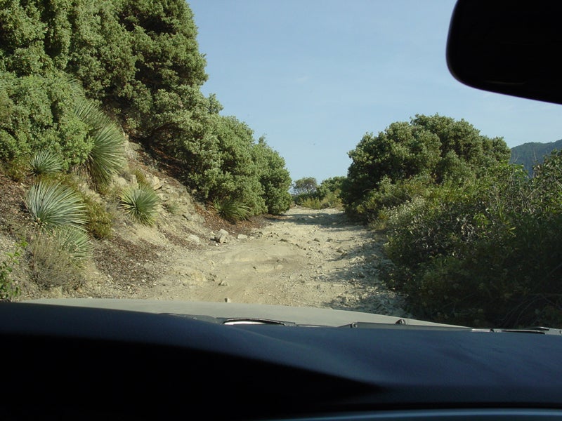
Info !!!error: Indecipherable SUB-paragraph formatting!!! and !!!error: Indecipherable SUB-paragraph formatting!!!
This is a longer one snaking through the San Gabriel Mountains. It seems to be a bit more technical, gets pretty narrow and itís rockier than the others. But itís also near Azusa Canyon and the glorious riverbed OHV area.
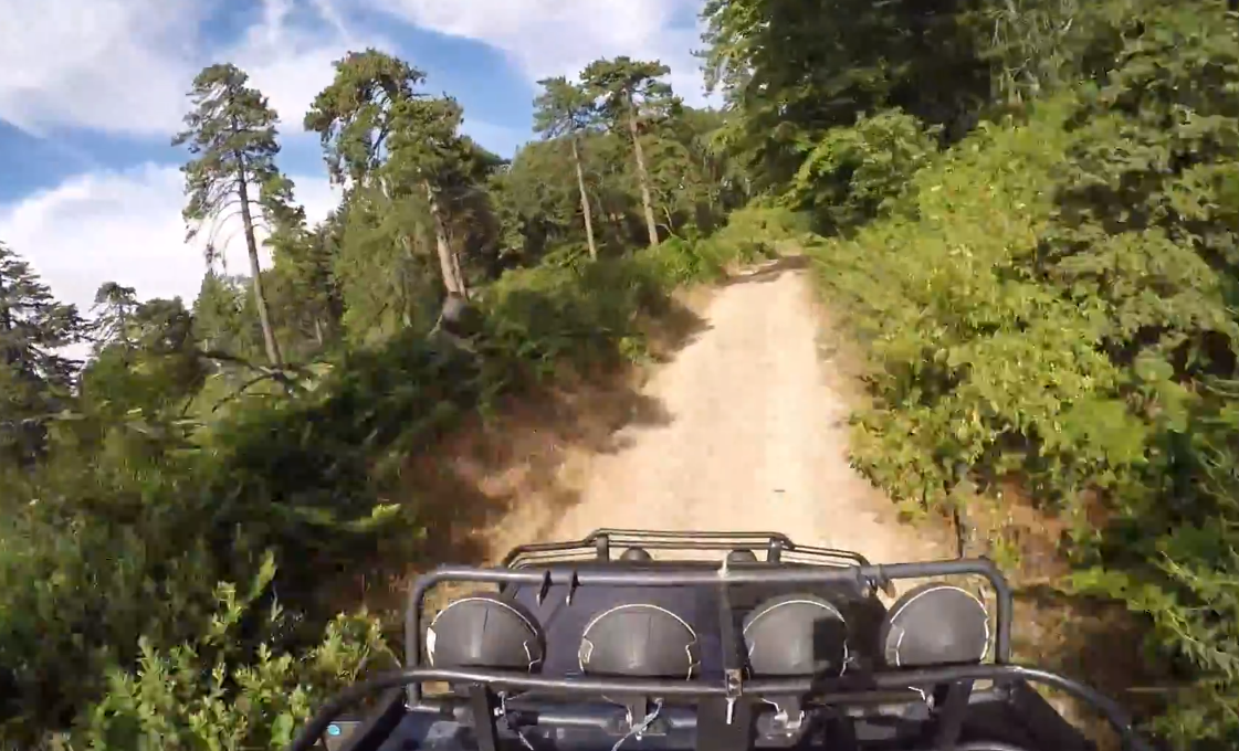
Sugarpine Mountain Trail
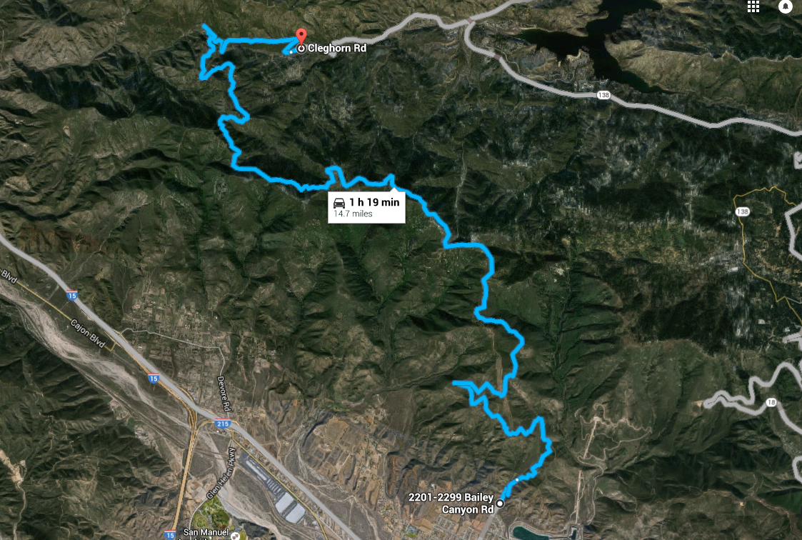
Info
!!!error: Indecipherable SUB-paragraph formatting!!!
and
!!!error: Indecipherable SUB-paragraph formatting!!!
This one passes through more foresty sections than the others and seems to have a nice variety of views. Iím really into the idea of seeing the Pacific from a mountain ridge so Iím not sure Iíll pick this one, but the greenery is really nice. Again, most sites say you barely need 4WD for this so Iím not being (too) stupid.
East Camino Cielo
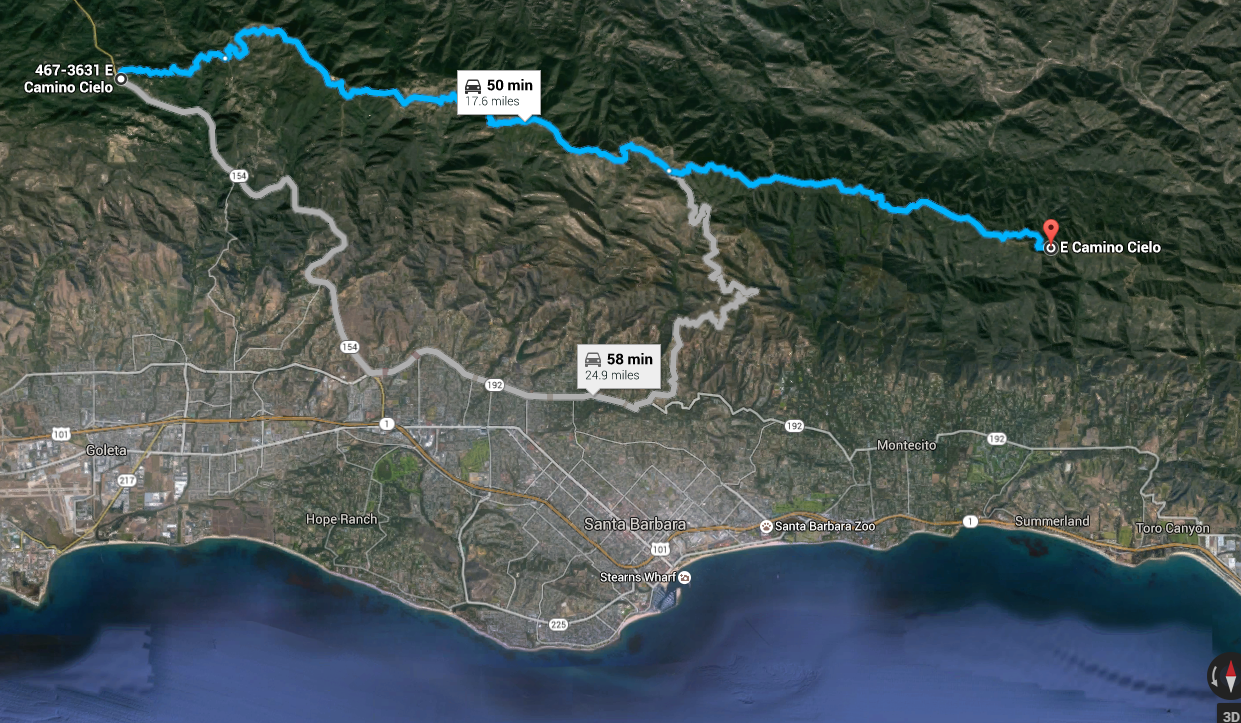
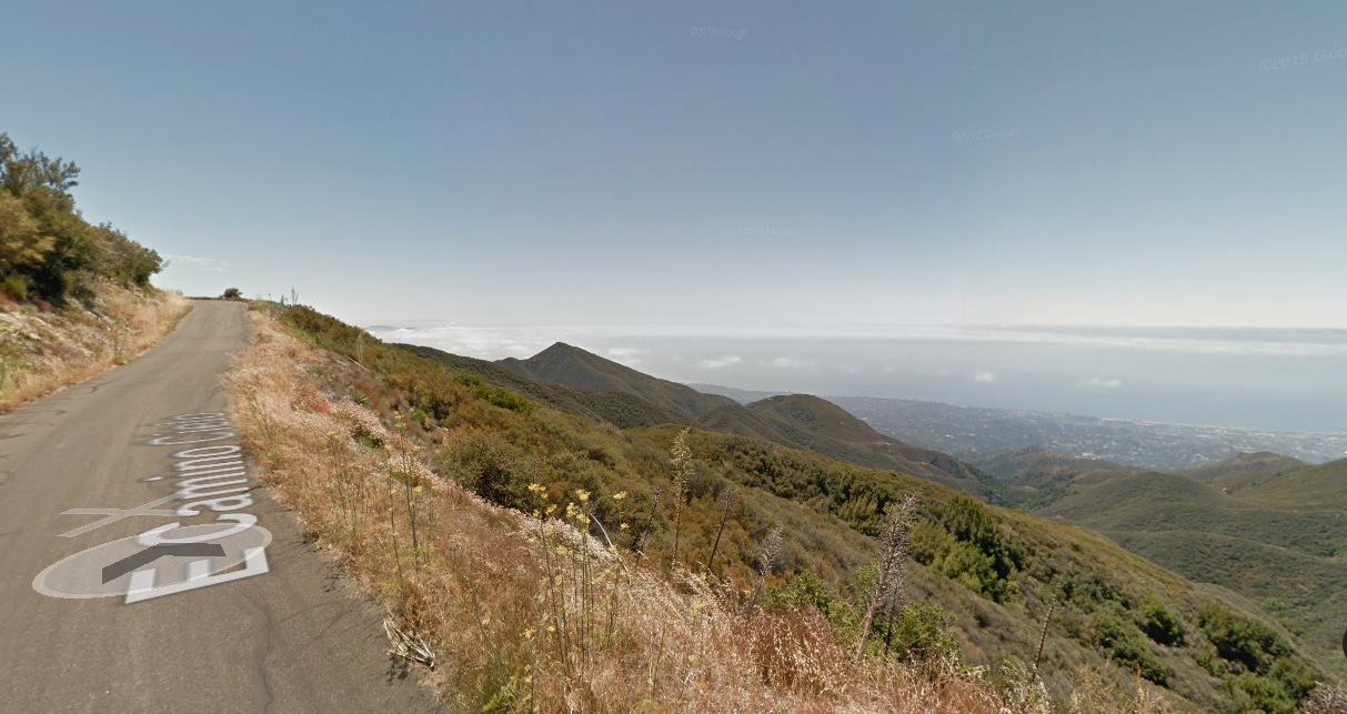
This is cheating a little bit because itís a paved road (in rough shape!), but the view of the Pacific is basically unparalleled. And because the road runs along a high ridge, you get views like this the entire way. Thereís a West Camino Cielo thatís a dirt road more like the ones above with similar views, but it crosses an area that just burned recently so I think it might be closed.
 Highlander-Datsuns are Forever
> area man
06/24/2016 at 14:46 |
|
Forest Road 1N12 from Highway 38 up to Angles Oaks, it takes off of Highway 38 just before it starts climbing up the canyon wall. This area is just north of Redlands CA, east of San Bernardino CA. Iíve driven the whole thing in 2wd in a jeep cherokee. There are a ton of dirt roads to explore once you get up there. You are also not to far from civilization so services and phone service should be pretty good.
 atrombs
> area man
06/24/2016 at 15:21 |
|
I donít have any tips, just wanted to say how jealous I am. someday Iíll move somewhere where I can access roads like that without driving many hours to get there. Have an awesome time!
 mallthus
> area man
06/24/2016 at 15:31 |
|
Lots of really awesome trails on the backside (north and east) of Big Bear Lake.
!!! UNKNOWN CONTENT TYPE !!!
Some of these trails will give your K5 a good workout. Others wonít even require 4WD to be engaged. Iíve done all of these in a Jeep Grand Wagoneer (with a 4" lift) and had zero problems. Young and dumb me did a few of them in a 1982 Chevette (good line planning required).
Theyíre all fun.
 area man
> mallthus
06/24/2016 at 15:34 |
|
Nice, thanks!!
 CaptDale - is secretly British
> area man
06/24/2016 at 18:31 |
|
I will now be doing East Camino Cielo because I live close enough and had no idea it existed.
 area man
> CaptDale - is secretly British
06/25/2016 at 01:13 |
|
Enjoy, it looks like a treat.
 area man
> atrombs
06/25/2016 at 01:15 |
|
Thanks!
 CaptDale - is secretly British
> area man
06/25/2016 at 11:03 |
|
Just have to get my rig running